ForestCO2
EO and in-situ based information framework to support generating Carbon Credits in forestry
The overall objective of the ForestCO2 project is to develop methodologies and produce a set of ...
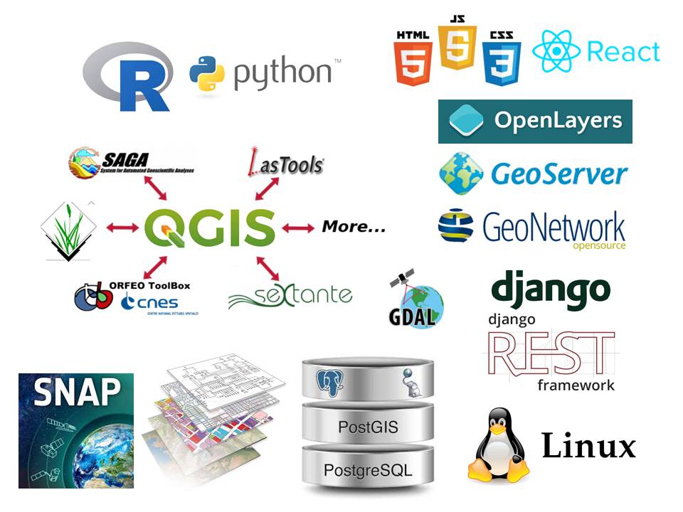
https://www.grf.bg.ac.rs/mojizbor/spgi
Geoinformatics, a new study programme on Faculty of Civil engineering, University of Belgrade!
Geoinformatika, novi studijski program na Građevinskom fakultetu Univerziteta u Beogradu ...
Science Fund of the Republic of Serbia
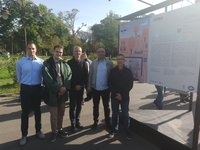
The exhibition dedicated to scientific projects in the field of artificial intelligence, organized by the Science Fund in cooperation with the Center for ...
CERES
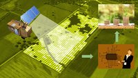
The overall objective of CERES is to develop a set of geospatial information products affordable to any types of end-users designed to support information driven decisions in agriculture, increase ...
More info at beacon-h2020.com.
BEACON is a blockchain-fueled toolbox that couples leading Earth Observation technology with weather intelligence to deliver cost-efficient and actionable insights for the agri-insurance industry. BEACON ...